Blog
9 Nov 2026
 How to set a thematic accuracy target for a national land cover release
How to set per-class accuracy targets, choose producer's vs user's accuracy, and write the accuracy statement for a statutory land cover release.
9 Nov 2026
 Supervised vs unsupervised classification for a national land cover layer
How agencies choose between supervised and unsupervised classification, and what that choice means for training samples and a statutory land cover layer.
2 Nov 2026
Field notes: the week the ministry stopped maintaining its own forest layerA look at why environment ministries quietly retire their own forest classification contracts in favor of one agency-wide land cover layer.
2 Nov 2026
Thematic resolution vs spatial resolution in land cover classificationSpatial resolution sets pixel size; thematic resolution sets how many land cover classes you can hold apart. Here's how they differ.
26 Oct 2026
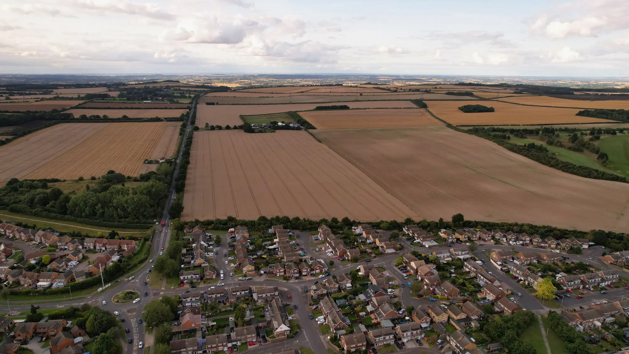 How to document data lineage for an annual land cover release
How to structure an ISO 19115 lineage record and metadata statement for an annual statutory land cover release that other departments can trust.
26 Oct 2026
What is the Anderson land use and land cover classification system?A plain explainer on the Anderson Land Use and Land Cover Classification System: its levels, USGS origins, and crosswalking it to a national land cover layer.
19 Oct 2026
Field notes: the week three ministries cited three different numbers for the same croplandA field-notes look at why agriculture, environment, and statistics offices so often cite different cropland figures, and what fixes it.
19 Oct 2026
LUCAS survey vs satellite-based land cover classification, explainedHow LUCAS point-sample statistics and satellite-based land cover classification differ, and how national mapping agencies reconcile both.
14 Oct 2026
SEEA land account vs land cover classification: what's the differenceA land cover classification is a map. A SEEA land account is a stock-and-flow table built from it. Here's where one ends and the other begins.
14 Oct 2026
What is edge-matching in a national land cover mosaic?What edge-matching means for a national land cover mosaic, why tile seams appear, and how agencies reconcile them before publishing the annual layer.
13 Oct 2026
Crosswalking land cover classes to IPCC LULUCF categories: a working guideHow to build and maintain a crosswalk table from national land cover classes to IPCC's six LULUCF categories for UNFCCC GHG reporting.
13 Oct 2026
What counts as built-up in a national land cover schemeWhere built-up class definitions break down: impervious surface vs built-up, legend edge cases, and why agencies need one rule everyone applies the same way.
7 Oct 2026
CORINE Land Cover vs a national bespoke classification: where the two legends pull apartHow CORINE's 44-class nomenclature compares to a national bespoke land cover legend, and why agencies end up reconciling both.
7 Oct 2026
Documenting a land cover legend change between annual editionsHow to record and crosswalk a land cover legend change so analysts citing different years of the layer aren't comparing incompatible classes.
7 Oct 2026
Object-based vs pixel-based classification for an annual land cover layerHow pixel-based and OBIA classification compare for a statutory annual land cover layer, and why it affects your delta checks.
7 Oct 2026
What is a minimum mapping unit in land cover classification?A plain explanation of minimum mapping unit (MMU) in land cover classification: what it controls, how it's set, and why it matters for annual updates.