What is the Anderson land use and land cover classification system?
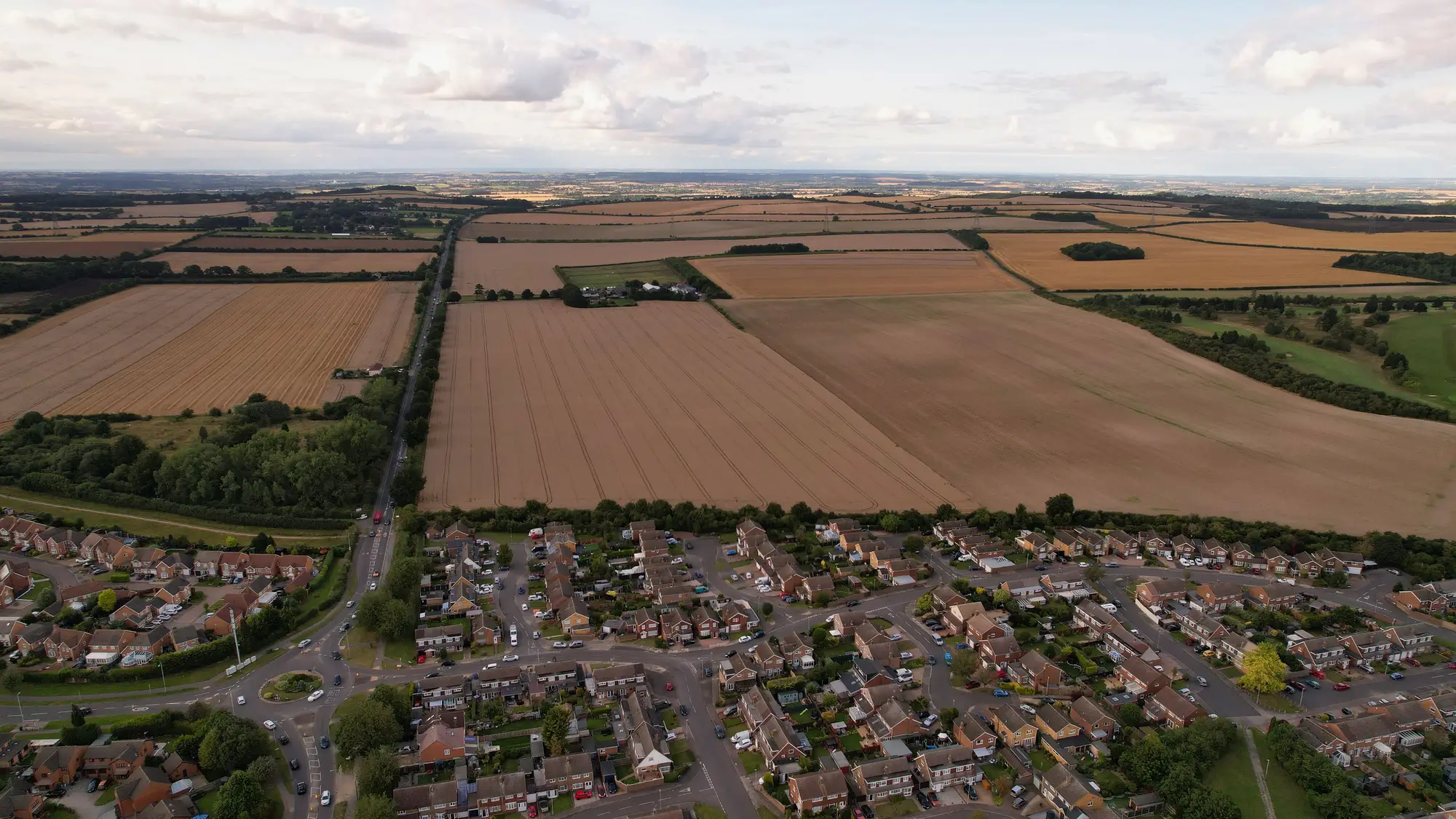
The Anderson system is the reason most land cover legends in North America, and a fair number outside it, still nest into categories like "01 Urban or Built-up Land" and "02 Agricultural Land." If you've inherited a legacy legend from a predecessor agency, or you're trying to figure out why your statistics office's definitions don't quite line up with your environmental reporting unit's, there's a decent chance Anderson is the common ancestor.
Where the scheme comes from
The system was published by James R. Anderson, Ernest E. Hardy, John T. Roach, and Richard E. Witmer as USGS Professional Paper 964 in 1976, under the title "A Land Use and Land Cover Classification System for Use with Remote Sensor Data." It was built for a specific moment: Landsat was new, agencies needed a legend that could be applied consistently from satellite imagery, aerial photography, and ground survey all at once, and nobody wanted nine different states inventing nine different class lists for the same federal reporting program. USGS designed it to scale with whatever resolution you had on hand, which is the part that's aged well even as the imagery itself hasn't stayed the same.
The four levels, and why most agencies stop at two
Anderson is structured as a hierarchy, and the level you work at is really a statement about what your source imagery can resolve.
Level I is nine broad classes: Urban or Built-up Land, Agricultural Land, Rangeland, Forest Land, Water, Wetland, Barren Land, Tundra, and Perennial Snow or Ice. This is the level you can reliably call from coarse-resolution or small-scale imagery, and it's still the level most national land cover layers report at when they're feeding a statistics office rather than a planning department.
Level II splits each of those into subcategories, so Agricultural Land becomes Cropland and Pasture, Orchards/Groves/Vineyards/Nurseries, Confined Feeding Operations, and Other Agricultural Land. This is the level Landsat-era satellite data resolved with enough spectral separation, and it's the resolution most references mean when they cite Anderson classification without qualifying it further.
Level III and Level IV go finer still, but Anderson deliberately left these undefined in the original paper. The intent was for state and regional agencies to build their own finer breakdowns on top of the federal Level I and II framework, using whatever higher-resolution imagery and local knowledge they had. That's the right call for flexibility and the wrong call for anyone hoping to find a single authoritative Level III table. There isn't one. Each agency's version of it is its own.
Why this matters for a national land cover layer
If your agency runs an annual classification and your statistics office cites one set of class definitions while your environmental reporting group cites another, somebody is maintaining a crosswalk table by hand, usually a GIS analyst with a spreadsheet nobody else has access to. Anderson gives you a shared vocabulary for that crosswalk, but it doesn't close the gap on its own. A modern classified layer, built off 0.5–2 m multispectral imagery, resolves far more detail than Anderson Level I or II ever anticipated, and most current schemes (built-up, cropland, forest, water, bare) map cleanly onto Anderson Level I with a documented crosswalk rather than trying to replicate Level III from scratch.
The practical question for a national mapping agency isn't "which Anderson level are we at." It's "does every department citing our land cover data agree on what counts as built-up versus bare, and is that agreement written down somewhere other than one analyst's head." A legend crosswalk solves that, but only if the underlying classification is produced the same way, on the same cadence, every year, so the crosswalk doesn't have to be rebuilt every edition.
That's the gap a single land cover layer the whole agency can cite is meant to close: one classified layer, delta-checked year over year, with a legend that can be crosswalked to Anderson or to whatever scheme your statutory reporting already uses, instead of a fresh classification contract (and a fresh set of class definitions) every time a department needs a map.
If your agency is still reconciling three legends across three departments, it might be worth seeing what one source layer looks like.