One land cover layer for the whole agency, every year.

An annual classification of your administrative area from high-resolution multispectral imagery, with a mapped change layer against last year's edition.

Spec

GSD
High, 0.5–2 m
Cadence
Annual edition
Platform
High-res satellite
Spectral
Multispectral
Classes
built-up, cropland, forest, water, bare
Change check
delta against the previous edition
Extent
your administrative boundary, or a part of it

The files in an edition

Classified layer

Format
GeoPackage or GeoTIFF
What's in it

The full extent of your boundary in five classes: built-up, cropland, forest, water and bare. One value per class, keyed to the legend. Delivered once a year as a new edition, clipped to your administrative boundary and ready to overlay on your cadastral layer.

  • built-up
  • cropland
  • forest
  • water
  • bare
Cadence
Annual edition

Edition delta

Format
GeoPackage
What's in it

What changed since last year's edition, mapped as polygons with the old class and the new class on each. Built so the change review can start from the list of changes and not from a full re-read of the layer.

Cadence
With each edition

Legend and class definitions

Format
PDF
What's in it

Every class written down: what counts, what does not, and where the boundary cases fall. Short enough for a downstream team to cite when they quote an area figure from the layer.

Cadence
With each edition

Edition notes

Format
PDF
What's in it

The imagery dates used for each part of the area, the areas that could not be finished from a clear scene and why, and the scheme version the edition was built to.

Cadence
With each edition

How it works

You send

We do

Comes back

  1. You send

    Send the boundary

    Your administrative boundary as a shapefile or GeoPackage, and your class scheme if you have one. If the layer is for part of the country, send that part.

  2. We do

    Scheme check

    Before any mapping we compare your scheme with the five-class layer and tell you where a class maps across cleanly and where it does not.

  3. Classify

    The best usable multispectral imagery for the year is chosen, and each pixel group is classified against the agreed scheme and segmented into patches.

  4. Delta check

    The new edition is compared with the previous one and the differences are mapped as the delta layer.

  5. Comes back

    Hand-over

    Layer, delta, legend and notes, in a format that opens in QGIS or ArcGIS. The next edition repeats from step three.

Limits

Condition
Annual, not monitoring
Effect on the output
The product is one edition a year. Nothing in it shows what changed last month, and it does not send alerts.
Condition
Cloud sets the date
Effect on the output
Each area uses the best clear imagery available for the year. Some areas finish later or from an earlier date, and the edition notes list them.
Condition
0.5–2 m is the floor
Effect on the output
A pixel this size suits broad classes such as cropland, forest and built-up ground. It is too coarse to give individual building footprints or narrow features such as hedgerows and paths.
Condition
Five classes
Effect on the output
Built-up, cropland, forest, water, bare. A finer scheme needs to be agreed first, and some of its classes may not be separable from imagery alone.
Condition
Land cover, not legal land use
Effect on the output
The layer says what the ground looks like. Zoning, ownership and permitted use come from your own records.
Condition
No accuracy figure on this page
Effect on the output
Thematic accuracy depends on your scheme and your reference sample. It is assessed against the sample you hold, not quoted in advance.
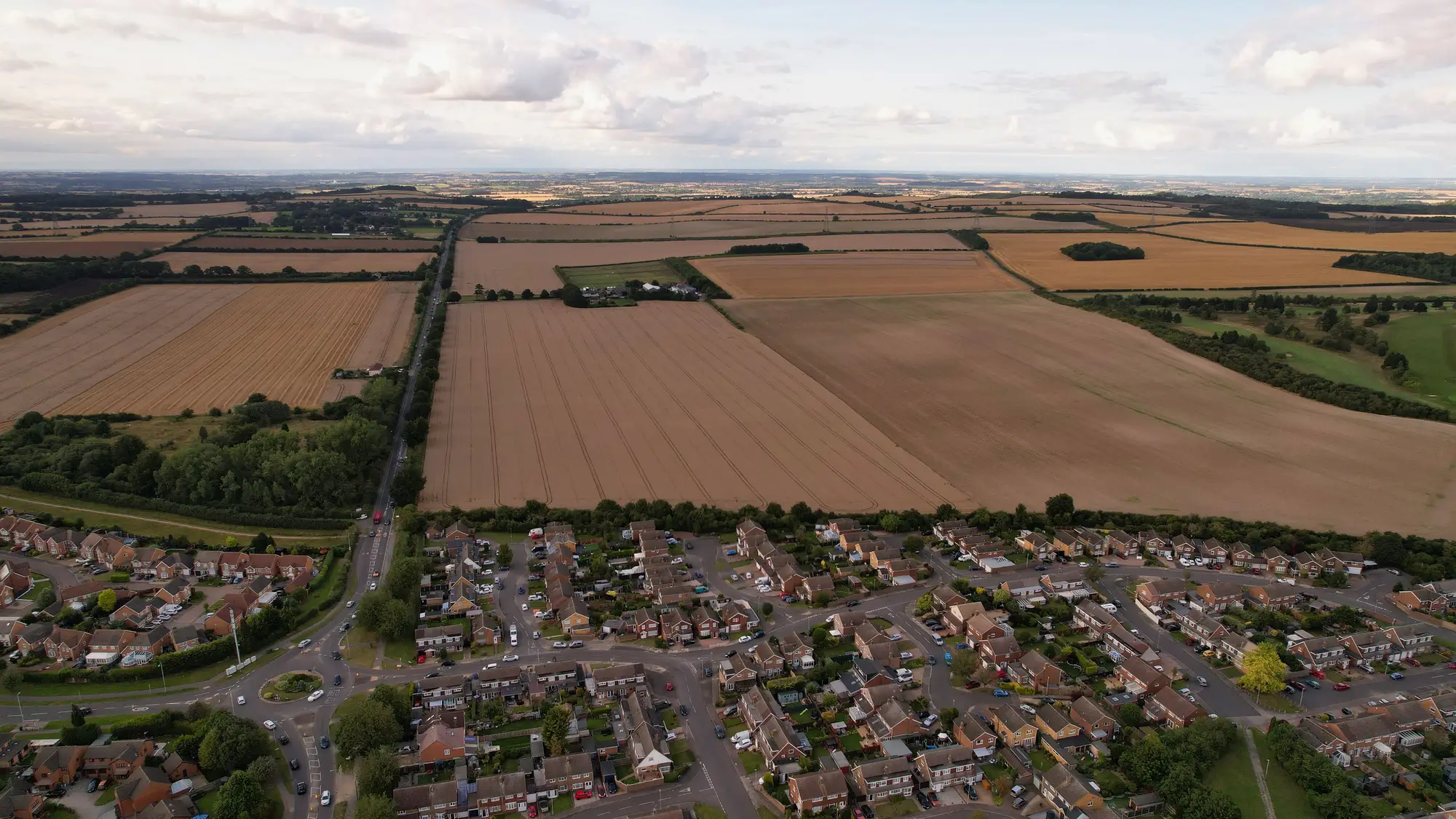
Why agencies end up with several layers

Classification has been let as separate contracts: one region, then a themed re-run, each with its own legend. Planning, environmental reporting and the statistics office each keep the extract they trust. When two departments publish different cropland or forest areas for the same year, the GIS lead is asked which one is official, and the honest answer is that they were built to different schemes.

Oblique aerial view of a housing estate at the edge of an English town, with harvested fields and tree lines behind it
Scenery: houses, fields and tree lines at a town edge.

Who it's for

Who it's for

  • GIS leads at national mapping or statistics agencies who own the statutory land cover layer.
  • Analysts who need one edition, one legend and a mapped change list to cite from.
  • Agencies replacing several ad-hoc classification contracts with one recurring layer.

Who it's not for

  • Teams that need change alerts through the year.
  • Building footprint or cadastral-parcel mapping. The pixel is too coarse.
  • A layer certified to a named statistical standard. That sign-off stays with your agency.

Technical and buying questions

Can we use our own class scheme?

The layer is built to a defined scheme, and yours can be discussed before work starts. The scheme check in step two tells you where it maps across and where it does not.

How do we check the classes against our own reference data?

Send your reference sample at scoping. The layer is delivered in a format that lets you compare it in your own GIS, and thematic accuracy is assessed against what you hold.

What happens with cloud cover?

Each area uses the best clear imagery for the year. Areas that finish late or from an earlier date are listed in the edition notes.

Does it update through the year?

No. It is one edition a year, and it is not a monitoring feed.

Can we have a partial-area edition?

Yes. The edition is clipped to the boundary you send, which can be a region or a single administrative unit.

What file formats and projection do we get?

A format that opens in QGIS or ArcGIS, in the projection your agency uses. Tell us both at scoping.

Who owns the delivered layer?

Use and ownership terms for the delivered layers are written into the contract before work starts. The satellite archives the imagery comes from keep their own licences.

How is it priced and bought?

Each edition is scoped and quoted on its own, from the area covered and the number of editions you want. You get a written scope to take through your agency's procurement.

Give your next report one layer to cite.

Send the boundary and your class scheme, and we will scope an edition.