What is a minimum mapping unit in land cover classification?
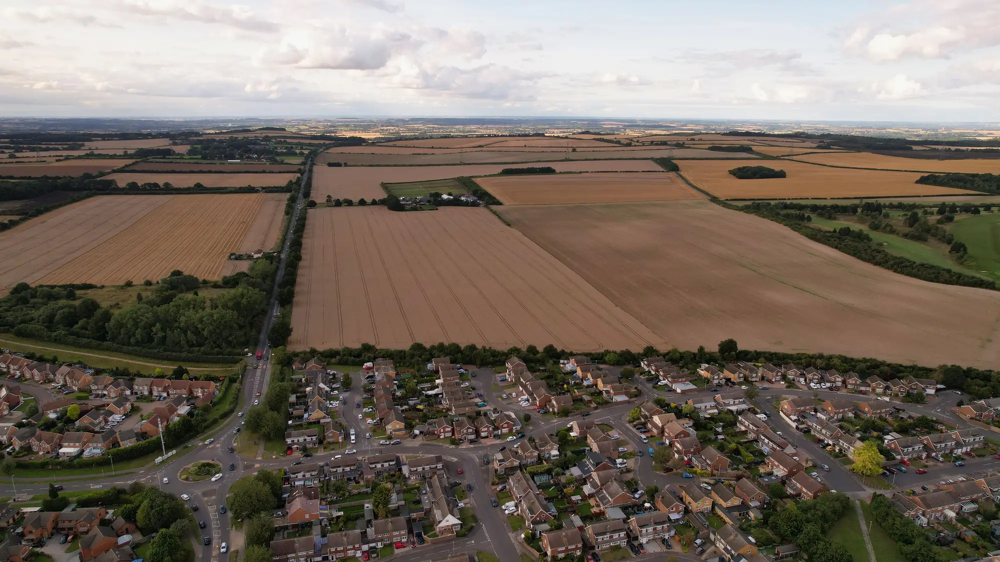
If you've sat through a technical working group meeting on a national land cover product, you've heard the acronym MMU thrown around like everyone already agrees on what it means. Often they don't. Minimum mapping unit sounds like a simple size threshold, but it's the thing most working groups end up arguing about once the classification scheme is otherwise settled.
Minimum mapping unit is the smallest area a classification will commit to as its own polygon. Below that size, a patch of built-up land, a pond, a stand of trees, gets folded into whatever land cover surrounds it. A 25 ha MMU, for instance, means a 2 ha quarry sitting inside a forest block won't show up as bare ground on its own. It gets absorbed into the forest class, or it shows up as a mixed/complex category if your legend has one.
MMU is not resolution. Ground sample distance tells you how small a feature the imagery can physically register. MMU is a policy decision layered on top, about how small a feature you're willing to let the final product distinguish. You can have 0.5 m imagery and still set a 1 ha MMU, because your statistics office doesn't want ten thousand tiny slivers in the delivered layer, it wants a product that generalizes sensibly at national scale and stays comparable year over year.
Why the number you pick changes everything downstream
Set the MMU too small and you get a layer that's technically more detailed but practically unusable: polygon counts balloon, file sizes become unwieldy for provincial GIS teams to load, and every year-over-year comparison turns into noise, because a field boundary shifting by half a hectare reads as "change" when it's really just classification jitter. Set it too large and you lose the things the layer exists to show in the first place. A 25 ha MMU will erase most quarries, most small reservoirs, most informal settlements on the edge of a city, exactly the features an environmental reporting team or a planning department tends to ask about first.
There's also a legacy trap. Agencies that have been producing a land cover series for twenty or thirty years are often locked into whatever MMU the original programme chose, because changing it breaks the time series. CORINE-style products across Europe are the familiar example: the 25 ha MMU (and 100 m width for linear features) was set decades ago and has stayed fixed partly so that 1990 can still be compared to this year. That's a reasonable trade-off. It's also worth knowing that it's a trade-off, not a law of nature, so you don't assume every national programme owes the world the same threshold.
Setting an MMU that matches what the layer is for
A few questions settle most of the debate faster than a committee will:
- Who cites the smallest class in practice? If your environmental reporting obligations require tracking wetland loss down to a hectare, your MMU can't sit above that threshold, full stop.
- What's the comparison window? If the layer needs to sit next to twenty years of prior editions, match the existing MMU unless you're prepared to reprocess the whole archive to make it comparable again.
- How many polygons can downstream users actually work with? A provincial planning office opening the file in a desktop GIS cares about load time and polygon count as much as they care about thematic detail.
- Does the legend have a fallback class? A sensible MMU policy usually pairs small, mixed features with a "complex" or "mosaic" class rather than silently assigning them to whichever neighbor is largest.
None of this is a one-time decision either. An MMU chosen for a pilot region doesn't automatically hold once you scale to the full national extent, where terrain, settlement pattern and field size vary a lot more than a test area suggested.
If your agency is weighing MMU and legend design for a production land cover layer rather than a one-off study, our page on the annual classification pipeline walks through how the delta-checked, agency-wide edition gets built. Get in touch if you want to talk through where your MMU should sit before the next production run.