How to document data lineage for an annual land cover release
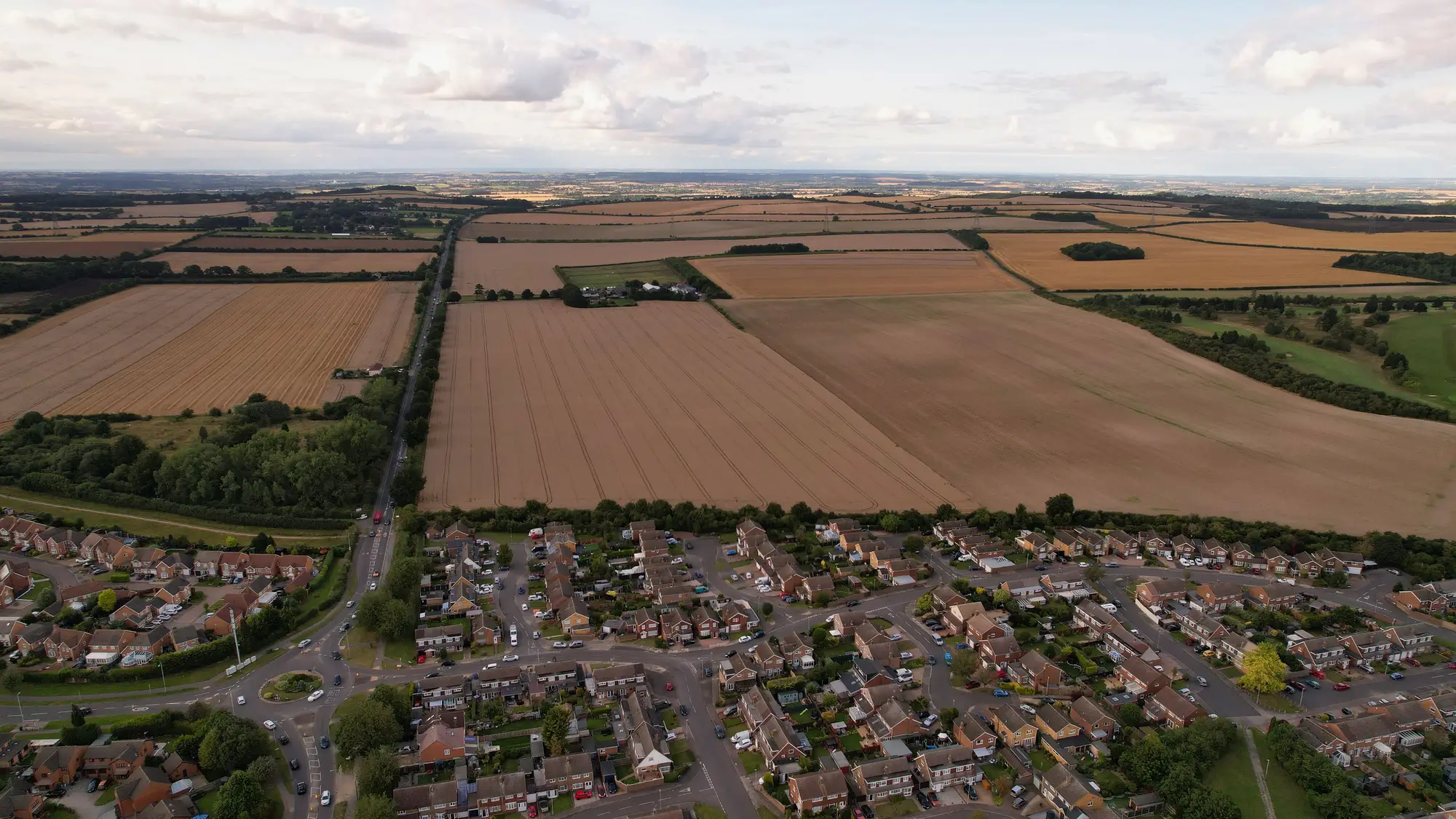
When the land cover layer goes out the door each year, someone in your shop has to answer the question an auditor, a data user, or your own successor will eventually ask: where did this come from, and what changed from last year's edition? That answer is the lineage record, and for a statutory layer it's not optional paperwork. It's the thing that lets the statistics office, environmental reporting, and planning all cite the same release without each one running its own sanity check first.
A lineage record for an annual release needs to carry a specific set of facts, structured so it survives a staff turnover rather than living in one analyst's head.
What goes in the lineage statement
ISO 19115 gives you the skeleton: a lineage element with a free-text statement plus structured processStep and source entries. Most agencies treat the free-text statement as a summary and let the structured fields carry the detail a GIS analyst will query later. At minimum, document:
- Source imagery: platform, spectral bands used, ground sample distance, and acquisition window. If you blended scenes from two sensor passes to get cloud-free coverage, say which tiles came from which pass.
- Classification method: the algorithm or workflow that produced the five-plus classes (built-up, cropland, forest, water, bare, whatever your scheme uses), including any training or reference data and the classification scheme version if it's changed since last year.
- Change detection against the prior edition: how the delta was computed, what threshold flagged a pixel as "changed," and whether a human reviewed the flagged areas before sign-off. Statutory layers get challenged on exactly this point, usually by someone asking why a parcel flipped from cropland to built-up between editions.
- Processing steps in order: atmospheric correction, mosaicking, classification, post-classification smoothing, delta check, QA review. Each step gets a date and, ideally, the name or role of who ran it, not just "automated."
- Known limitations: cloud gaps, seasonal mismatch between acquisition dates year over year, or any area where the classifier historically struggles (shadowed terrain, mixed-pixel edges along built-up/cropland boundaries).
Don't try to fold all of this into one paragraph. A reviewer three years from now is going to want the processing steps as a list they can scan, not prose they have to parse.
Writing the metadata statement so it's usable
The ISO 19115 record is the machine-readable half. You still need a plain-language metadata statement that a planning department staffer with no GIS background can read in five minutes and trust. That statement should answer four questions up front: what imagery and date range this edition covers, what classification scheme was used, what changed since last year's release at a summary level, and who to contact if something in the layer looks wrong for a specific parcel.
Keep the metadata statement and the structured ISO record in sync. The fastest way a lineage record loses credibility is when the plain-language summary says one acquisition window and the XML says another, because someone updated one file and not the other during a late release.
For the provenance record itself, version it the same way you version the layer. Each annual edition gets its own lineage document, dated and archived, not overwritten. If a user downloads the 2023 edition two years from now, the lineage statement that shipped with it should still match what's in your archive, not a retroactively edited version.
One thing that makes this whole process easier: producing the layer from one consistent, repeatable pipeline rather than a different contractor or workflow each year. A single land cover release your agency can point to across departments makes the lineage record itself more stable, because the processing steps don't change shape every edition the way they do when the work moves between vendors.
If your agency is rebuilding its lineage statement from scratch every cycle because last year's classification came from a different contract than this year's, Land Use Mapping is built to keep that record consistent edition over edition.