Object-based vs pixel-based classification for an annual land cover layer
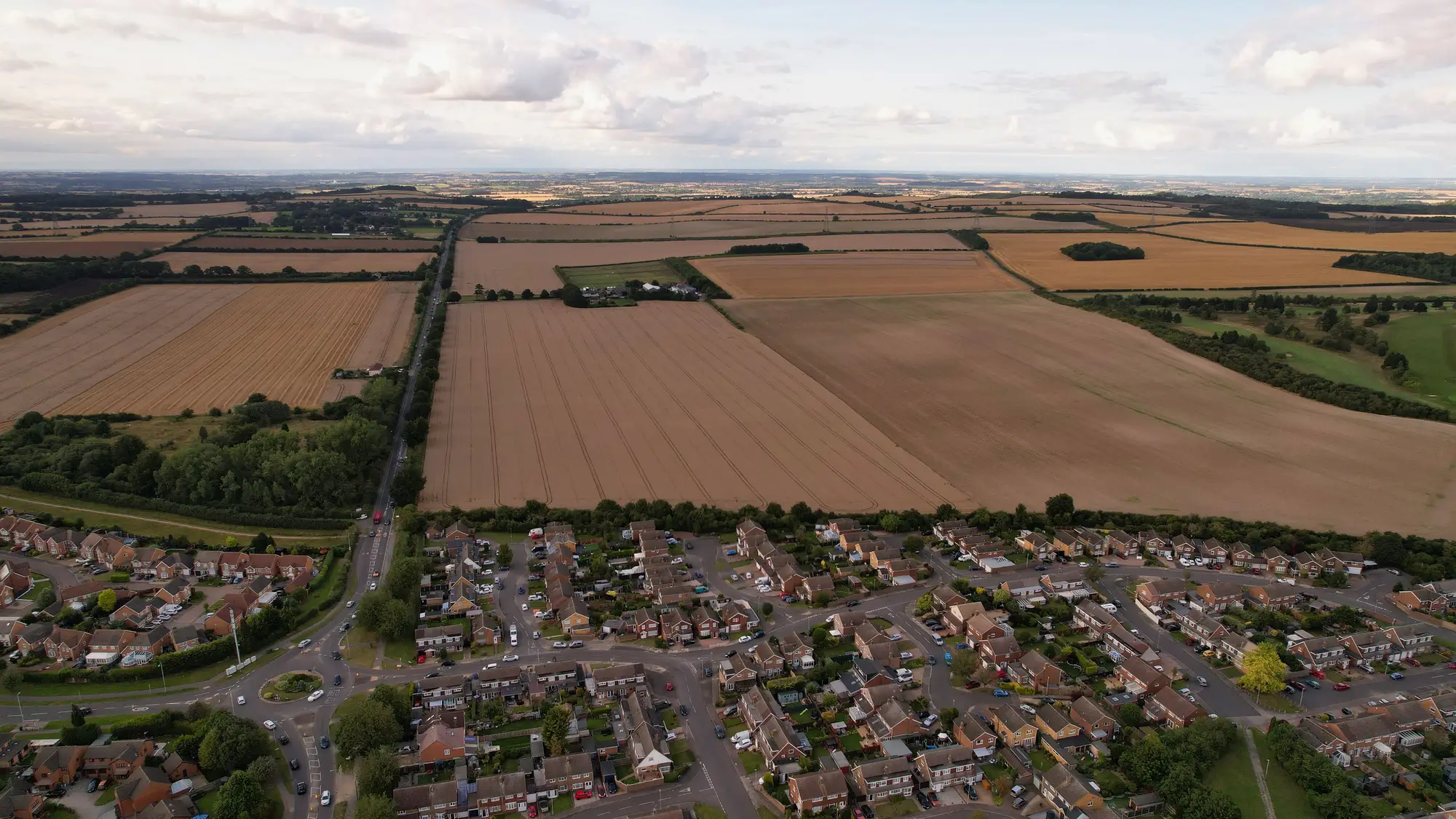
If you're the one who has to defend the land cover numbers when the stats office asks why built-up area jumped 4% in a district that added one subdivision, the method behind the classification matters as much as the accuracy figure on the metadata sheet. Two families of methods dominate: pixel-based classification and object-based image analysis, usually shortened to OBIA. They don't just produce different-looking rasters. They fail differently when you run a delta check against last year's edition, which is the part of the job nobody mentions in the training slides.
What each method does
Pixel-based classification looks at one pixel at a time. It reads the spectral signature (the reflectance values across your multispectral bands) and assigns a class: built-up, cropland, forest, water, bare. It doesn't know or care what's around that pixel. Run it on 0.5–2 m imagery and you get the familiar salt-and-pepper problem: a bright rooftop pixel next to a shadowed one, a single cell of bare soil in the middle of a cropland polygon, a sliver of water that's really a damp patch on a dirt road. Clean it up with a majority filter and you lose edge detail you probably needed for the built-up/cropland boundary.
OBIA flips the order. It segments the image into homogeneous objects first, groups of adjacent pixels that share spectral and textural properties, and then classifies each object as a whole, using not just its average reflectance but its shape, size, and relationship to neighboring objects. A field boundary becomes one object instead of ten thousand independent pixel votes. For high-resolution imagery this is usually the better fit, because a single pixel at 0.5 m resolution doesn't carry enough context to tell a gravel farm track from bare ground, but a segmented object with the shape of a road does.
Where this bites on an annual re-run
The accuracy comparison is the part everyone focuses on. The part that actually causes problems at a national mapping agency is reproducibility across editions. Pixel-based classification is deterministic in a narrow sense: feed it the same imagery and the same trained classifier, and you get the same pixel labels back, year after year. OBIA's segmentation step has parameters, scale, shape, compactness, that determine where object boundaries fall, and if those drift even slightly between this year's run and last year's, the objects themselves shift.
That shows up in your delta layer as apparent land cover change along every field edge and street front, even where nothing changed on the ground. Your environmental reporting team will ask about it. So will anyone cross-checking the layer against cadastral boundaries.
OBIA remains the right tool for a 0.5–2 m annual layer. What changes is parameter discipline: lock the segmentation settings as a versioned part of the production pipeline, document them the same way you'd document a classifier's training set, and re-run them identically every cycle rather than re-tuning for "better" segmentation each year. A method that's slightly less sharp but stable across ten editions beats one that's sharper this year and incomparable to last year's.
Picking one for a statutory layer
A layer that the stats office, environmental reporting, and planning all cite from one source usually mixes methods by class: OBIA for built-up and cropland, where boundary precision gets cited directly in planning decisions, and pixel-based or a hybrid approach for broad cover types like forest and water, where object-level precision costs more processing than it's worth. Whichever split you use, the method and its parameters belong in the metadata that ships with the layer, not buried in a processing script that only one analyst still understands.
Land Use Mapping bakes that discipline into the production run instead of leaving the choice fresh every contract cycle. The classified layer your agency cites this year gets built the same way as last year's, delta-checked and ready to hand to whoever asks for it next. If one layer has to serve the whole agency, take a look at how that run is structured.