Crosswalking land cover classes to IPCC LULUCF categories: a working guide
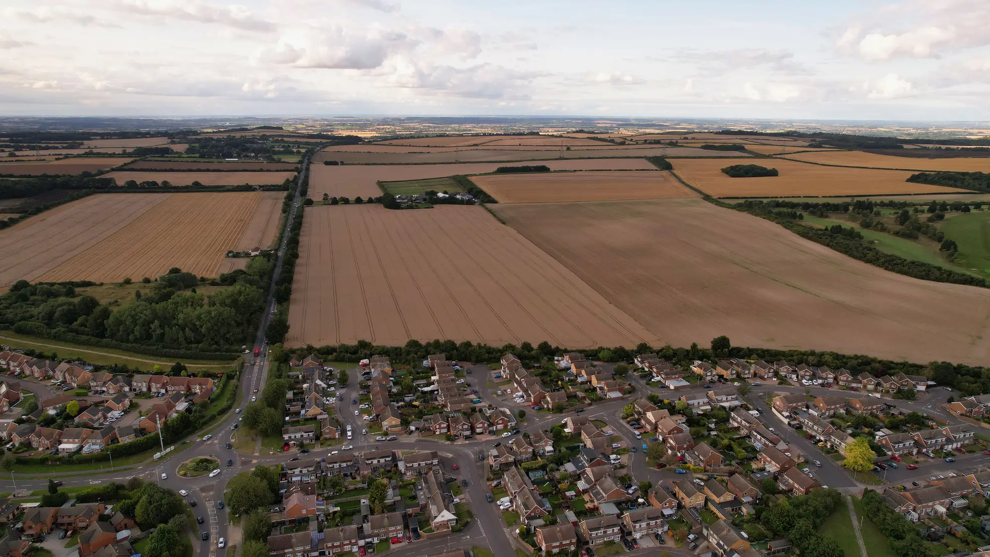
If your agency produces the land cover layer and someone else in the building produces the GHG inventory, the crosswalk table is the thing that sits between you. Get it wrong and the inventory team either overcounts forest conversion or spends three weeks each spring arguing with you about why last year's bare-soil polygons are now cropland.
The IPCC doesn't care what your legend calls things. It wants six categories: forest land, cropland, grassland, wetlands, settlements, and other land. Your national classification almost certainly doesn't map onto those six cleanly, and that gap is where most of the reporting headaches start.
Why a straight lookup table usually breaks
The instinct is to build a simple lookup: class A becomes forest land, class B becomes cropland, done. That works for maybe half your classes. The other half fall apart for three reasons.
First, grassland rarely exists as its own national class. Agencies that run a five- or six-class legend (built-up, cropland, forest, water, bare) often fold grassland into cropland in some regions and into bare ground in others, depending on how the original training data was labeled. The IPCC inventory compiler needs that split made explicit, not buried in a regional convention nobody wrote down.
Second, wetlands is a category the IPCC defines by hydrology and vegetation, not by spectral signature. Your "water" class catches rivers, reservoirs and standing water fine. It does not catch seasonally flooded peatland or managed wetland that reads as vegetation nine months of the year. That has to come from an ancillary layer or a known mask, not from the land cover classification alone.
Third, other land is a residual category by design, and residuals are where classification noise ends up. Bare soil, exposed rock, degraded land and unclassified pixels all land there. If your bare-ground class is actually picking up fallow cropland in a dry season, that noise now shows up as land-use change in the inventory, which is exactly the kind of year-over-year wobble a reviewer flags.
Building the table so it survives a review
A crosswalk table that holds up under UNFCCC review has a few things in common.
It documents the rule, not just the result. For every national class, write down the decision logic: what share of built-up, by what threshold, becomes settlements versus staying other land for sub-threshold informal development. A reviewer should be able to read the rule and reproduce your mapping without asking you.
It's versioned alongside the classification, not maintained separately. If your legend changes, or a class gets split or merged between editions, the crosswalk has to change with it and the change has to be logged. Inventory compilers working under the IPCC's land representation Approach 2 or 3 need a consistent land-use matrix across years. A crosswalk that silently shifts definitions between editions breaks that matrix even if the underlying imagery classification is accurate.
It keeps a bridge for the categories your land cover product doesn't natively produce. Grassland is the most common gap. Rather than forcing grassland into cropland or bare, keep a documented split rule (often based on an ancillary agricultural layer or a vegetation threshold) and apply it the same way every year.
It's reconciled against the previous year's edition before anyone touches the GHG tables. A delta check between this year's classified layer and last year's, run at the land cover stage rather than after the crosswalk, catches most of the spurious land-use change before it ever reaches a CRF table.
None of this is exotic methodology. It's bookkeeping discipline applied to a classification problem, and it's the same discipline that makes a single classified layer the whole agency builds on more useful than five separate classification contracts each drawing their own class boundaries.
Where the imagery side actually helps
The crosswalk problem gets easier when the land cover layer it's built on is consistent year to year, both in the classes produced and in how the boundary between them is drawn. A 0.5–2 m multispectral classification run annually, with built-up, cropland, forest, water and bare delineated the same way each edition and delta-checked against the prior year, gives the inventory team a stable base to crosswalk against instead of a moving target.
If your agency is still stitching together separate classification runs for statistics, environmental reporting and planning, and reconciling three different legends against the IPCC categories each cycle, it's worth looking at what one recurring layer, cited by all three, would do to that workload.