Field notes: the week three ministries cited three different numbers for the same cropland
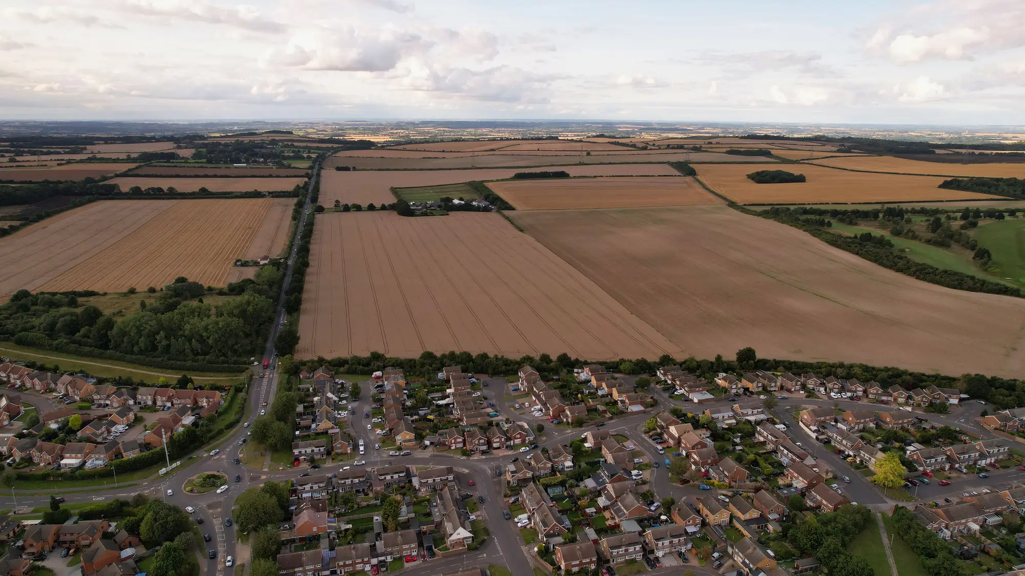
It started, as these things usually do, with a parliamentary question. A deputy wanted to know how much arable land the country had lost to urban expansion over the past decade, and three ministries answered. Agriculture said one number. Environment said another.
The statistics office, drawing on the agricultural census, said a third. None of them were wrong, exactly. They just weren't measuring the same thing, in the same way, at the same time.
Agriculture's figure came from registered parcel declarations, the kind farmers file to claim subsidy payments. Environment's came from a land cover product built off a satellite mosaic that was, by the time anyone checked, four growing seasons old. The statistics office had its own cropland estimate from a sample survey, extrapolated with weights nobody outside the methodology unit could explain on short notice. Three defensible numbers. Three different answers to a question that should have one.
This is the default state of affairs in a lot of agencies, because cropland sits exactly where three mandates overlap. Agriculture wants it for subsidy administration. Environment wants it for habitat and emissions reporting. Statistics wants it for the national accounts and for whatever Eurostat or the UN is asking for that quarter. Each department built its own pipeline to answer its own question, on its own schedule, and for years that was fine, because nobody put the three numbers next to each other in public.
The problem shows up the moment someone does. A journalist cross-references two annual reports. An auditor pulls figures for a climate commitment and finds the cropland baseline doesn't match the land use baseline from the same year. A minister gets asked, on the record, to explain a discrepancy that isn't really a discrepancy at all, it's just three teams who never agreed on a classification schema, a reference date, or a minimum mapping unit.
What's striking, talking to people who've lived through this, is how rarely the fix is technical. Most GIS teams already know how to classify built-up, cropland, forest, water, and bare ground from decent imagery. That part isn't the bottleneck. The bottleneck is institutional: nobody owns the number. Each department has a legitimate reason to keep running its own classification, and nobody has the standing to tell Agriculture to stop using parcel declarations or tell Environment to stop using whatever regional product they've relied on since before the current staff were hired. The patchwork persists because coordination is harder than just producing your own answer.
A few agencies have started treating this as a governance question rather than a mapping question: pick one classified layer, built on a fixed cadence from the same imagery source, delta-checked year over year so everyone can see exactly what moved and why, and make it the thing every department cites. That layer doesn't replace Agriculture's parcel system or Environment's habitat work, which serve purposes a single land cover layer never will. It sits underneath all of it as a common base, so when the next parliamentary question comes in, three ministries pull from the same edition instead of three archives nobody cross-checked. That's the whole premise behind an annual land cover layer built to be the shared reference rather than another department-specific product competing with the other two.
None of this requires a committee to agree on a grand unified classification scheme for every use case. It requires one layer that's good enough, consistent enough, and current enough that citing it is less work than running your own pipeline. Most of the time, that's the bar. The three-ministries problem comes down to which number everyone reaches for first.
If your agency is still reconciling three cropland figures every reporting season, it might be worth seeing what a single annual layer would save you.